
NASA says it has tested a navigation system that could help future spacecraft choose safe landing spots on the Moon and other planets. The test used a small drone flying simulated lunar descent and landing manoeuvres. The agency published its account on 4 November, and Phys.org republished it the following day.
What the test involved
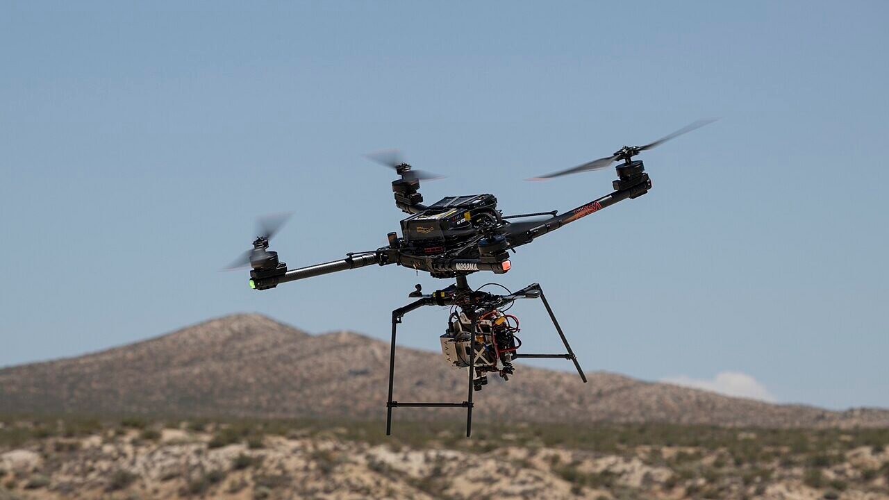
The flight happened on 27 August on Rogers Dry Lake, which lies near the Armstrong Flight Research Center in Edwards, California. An Alta-X drone carried a payload called SPLICE, short for Safe and Precise Landing – Integrated Capabilities Evolution. The payload is a package of guidance, navigation and control equipment.
During the flight, SPLICE used its guidance system to map the ground and judge which areas could be landed on safely. If it decided the targeted spot was unsafe, it redirected the drone to a safer location. It also built high-resolution digital elevation maps, which are detailed height maps of the terrain, using light-detection and sensor data. The NASA release describes these steps in detail.
In plain terms, the system works like a checklist that runs during descent: look at the ground, decide whether the chosen spot is acceptable, and change course if it is not. NASA’s description focuses on this sequence of mapping, assessing and diverting, which is the core idea behind the project.
How the payload was prepared
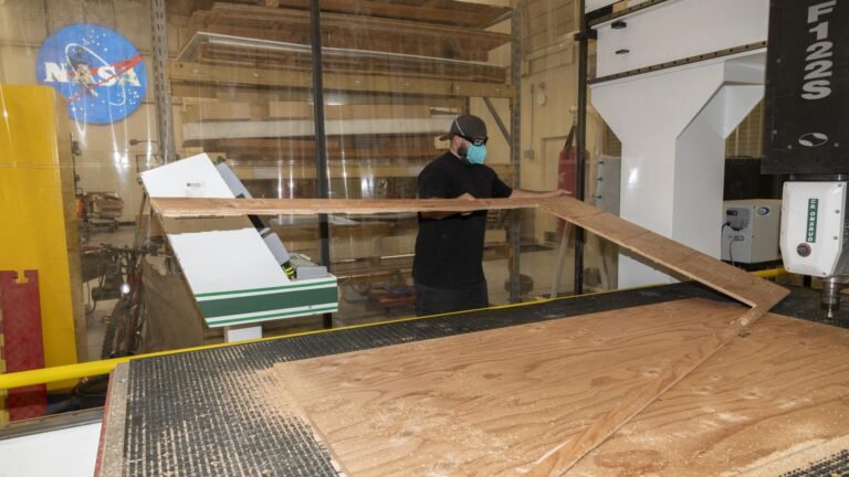
The payload was built by staff at NASA’s Johnson Space Center in Houston. Specialists at NASA Armstrong joined the work, preparing the equipment and flying it on the drone during June and July. Those earlier flights checked that the payload and drone could exchange data, send telemetry (streams of measurement readings) and respond to commands.
A further trial is scheduled for later this month at the Voyager Technologies site in Mojave, California. The published material does not give further details of that test, so its scope and results remain to be seen.
Why NASA sees it as a step forward
Davis Adams, NASA project manager for SPLICE, said the flight represented the peak of a long-running effort on the project. He said it raised the technology readiness level, a scale showing how close a technology is to operational use, and prepares it for future robotic and crewed Moon flights. NASA also says the guidance and navigation methods could apply to landings on Earth, the Moon and Mars.
The project’s early development was supported by NASA’s Flight Opportunities project, based at NASA Armstrong. Earlier tests included a descent and landing trajectory in 2019 similar to what a Moon mission would need. In 2020 the project also tested two precision landing sensors designed inside NASA.
Industry links and what comes next
NASA reports that it has worked with several commercial lunar lander companies to adapt versions of SPLICE for their platforms. Some landers planned for upcoming Moon Base missions are described as relying on data gathered through systems like SPLICE for gentle landings on the lunar surface.
NASA plans to make the guidance system available in its software catalog this fall. Adams said some companies are also evaluating its navigation capabilities for precision landing and for possible future surface mobility. These are plans and early evaluations, not confirmed results. The findings so far come from NASA’s own account and a republished version on Phys.org, and the sources do not include independent assessment of the results.
Frequently asked questions
What is SPLICE?
SPLICE is a guidance, navigation and control payload that uses sensors to map terrain, assess possible landing areas and steer away from unsafe ones. NASA says it was developed at the Johnson Space Center in Houston.
Has this system landed a spacecraft on the Moon?
No. The August flight used a drone to carry out simulated lunar descent and landing manoeuvres. The published material does not report a real Moon landing.
When will the software be available to others?
NASA plans to make the guidance system available in its software catalog this fall, according to project manager Davis Adams.
What does technology readiness level mean?
It is a scale used to show how close a technology is to being used in real missions. NASA says the August flight raised SPLICE's level.
Why it matters
Landing safely on another world depends on choosing a suitable spot, and a system that checks the ground and changes course before touchdown addresses that directly. The technology is being prepared for upcoming Moon missions, so it could shape how future landers operate. Because the results so far come from simulated tests and NASA's own account, the planned full-scale test and the software release will be the next useful signals.
Sources
Share this article
This article was prepared with AI assistance from the sources listed above and published after automatic quality checks. Our editor reviews published articles and corrects mistakes. How we work.
Spotted a mistake? See how we correct errors.